



 Reading time: 2 minutes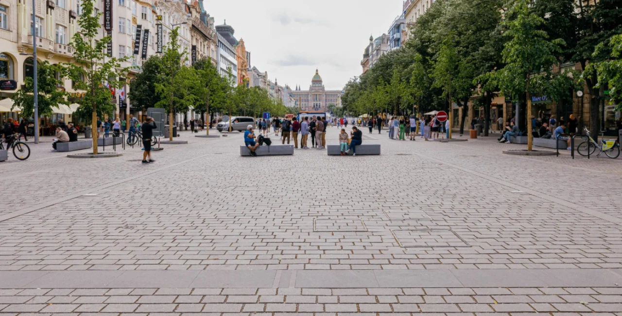

 Summary for: Prague’s hottest neighborhoods can stay 7 degrees warmer after sunset
Temperatures in central Prague can remain as much as 7 degrees Celsius higher than on the city’s outskirts during the first half of a tropical night, according to a new interactive map produced by Prague’s planning institute.
The Heat in Prague story map follows an exceptionally warm summer in which the capital recorded 29 tropical days and 12 tropical nights between May and September.
Created by the Prague Institute of Planning and Development (IPR), the online project illustrates how buildings, roads, vegetation and air circulation influence temperatures in individual neighborhoods—and how those findings could change the design of future developments.
Old Town and Holešovice stay hotter at night
The greatest temperature differences emerge after sunset, when dense urban neighborhoods release heat accumulated during the day.
“In the first half of a tropical night, the air temperature in places such as the Old Town or Holešovice can be up to 7 degrees higher than on Prague’s outskirts, for example in Ruzyně,” IPR director Ondřej Boháč said.
Asphalt, concrete, buildings, parking lots and sidewalks absorb solar radiation during the day and release it slowly after dark. Trees and other vegetation, by contrast, provide shade and cool their surroundings through water evaporation.
Poorly planned dense development can also block airflow, preventing heat from dispersing. Cars, air conditioners, appliances and other human activity add further warmth in heavily populated areas.

Prague’s climate plan previously warned that built-up heat islands could remain up to 8 degrees Celsius warmer than green areas on the city’s edge and identified prolonged hot periods as a growing health concern.
Data could reshape future neighborhoods
The story map combines several sources because no single method provides a complete picture of urban heat.
Weather stations measure air temperature at specific locations, while satellite images reveal differences in surface temperatures across a wider area.
IPR also uses the PALM digital model, which combines meteorological information with a 3D model of Prague to calculate temperatures on streets and building surfaces.
Planners can use the resulting data to identify potential heat traps before new neighborhoods are built.


“Already at the design stage, we can work with building orientation, vegetation or appropriate materials and surface colors,” Boháč said.
The models can also test how building height, the arrangement of residential blocks and street orientation affect both temperature and airflow.
Measures intended to reduce overheating may include planting more trees, preserving open corridors for wind, incorporating water and vegetation, using lighter surface materials and limiting large expanses of exposed asphalt or concrete.
The map is intended for both specialists and the public, offering a detailed look at why a summer night can feel dramatically different in central Holešovice than near the airport in Ruzyně.
For planners, however, the project has a longer-term purpose: ensuring that Prague’s new districts do not repeat the design choices that have left some established neighborhoods struggling to cool down after sunset.
See the full interactive map of Prague's hottest neighborhoods here.