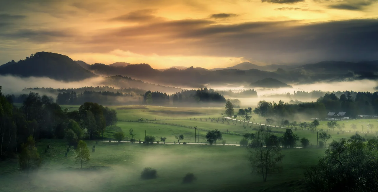
A 100-kilometer-long route that meanders through Bohemian Switzerland has opened to tourists. Hřebenkovka starts at the foot of the Krušné hory mountain range and ends with the first hills of the Lužické hory.
The route combines old paths with newly laid out sections and connects points of interest in the Bohemian Switzerland National Park, which has partially reopened after last year's fire.
PARTNER ARTICLE
The route was prepared by the non-profit company České Švýcarsko in cooperation with the Czech Tourist Club (KČT). The Ústí nad Labem region covered the CZK 1.4 million cost.
"During the planning, we tried to make the long-distance route lead mainly over terrain with a natural surface – and at the same time have as little car and bicycle traffic as possible," KČT chairman Jiří Homolka said in a press release.
He added that Hřebenovka would be submitted for the European certificate Leading Quality Trails – Best of Europe. So far, only 22 routes in Europe and only one in the Czech Republic have it.
Lots of places to stop and relax
Many remarkable places were included in the meandering route. Along the way, people will enjoy the views of the Labe canyon, rock formations, view towers, castles, and towns.
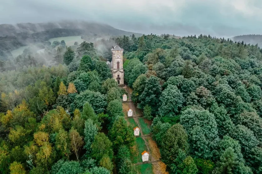
Tourists don’t need to walk the entire trail. “After several kilometers, the road always passes through villages or towns where public transport operates. The trip can thus be easily planned, but also interrupted at any time and continued again as needed – without the need for a car,” Česká Švýcarsko director Jan Šmíd said, adding that the route supported sustainable tourism.
Ústí region deputy governor Jiří Řehák said Hřebenovka is a great opportunity to show tourists lesser-known locations in the park.
"It is a welcome opportunity for the national park to more evenly distribute the onslaught of visitors over a larger area. We believe that the new route will appeal to families or small groups of friends going on a trip of several days," he said.
"On the way, they will use the accommodation and catering services in the region, supporting the local economy in many places," he added.
Six suggested sections
For convenience, the park administration has suggested breaking the route up into six stages. The first starts in the town of Tisza, which has interesting rock formations and tower on top of Děčínský Sněžník, the highest peak in the Děčinská vrchovina range and the highest mesa in the country.
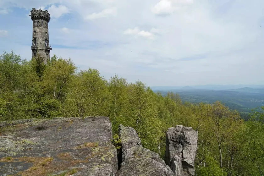
The third stage is perhaps the most physically demanding, with steps that lead up to Janovská rozhledna, a tower offering views of much of the park.
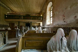
The final stage includes the ruins of Tolštejn castle, another lookout tower. A series of religious shrines from the 18th century called Stations of the Cross can be found on Jiřetín pod Jedlova. The sections range from around 10 kilometers to over 20 kilometers.


 Reading time: 2 minutes